
Pollution falls around Star Lane while two areas remain near legal limit
Ipswich Borough Council's executive will decide on Tuesday, 3 November, whether to revoke the air quality management area covering Star Lane and surrounding streets, after nitrogen dioxide levels stayed below the legal limit for three years - but two other parts of town remain close to it.

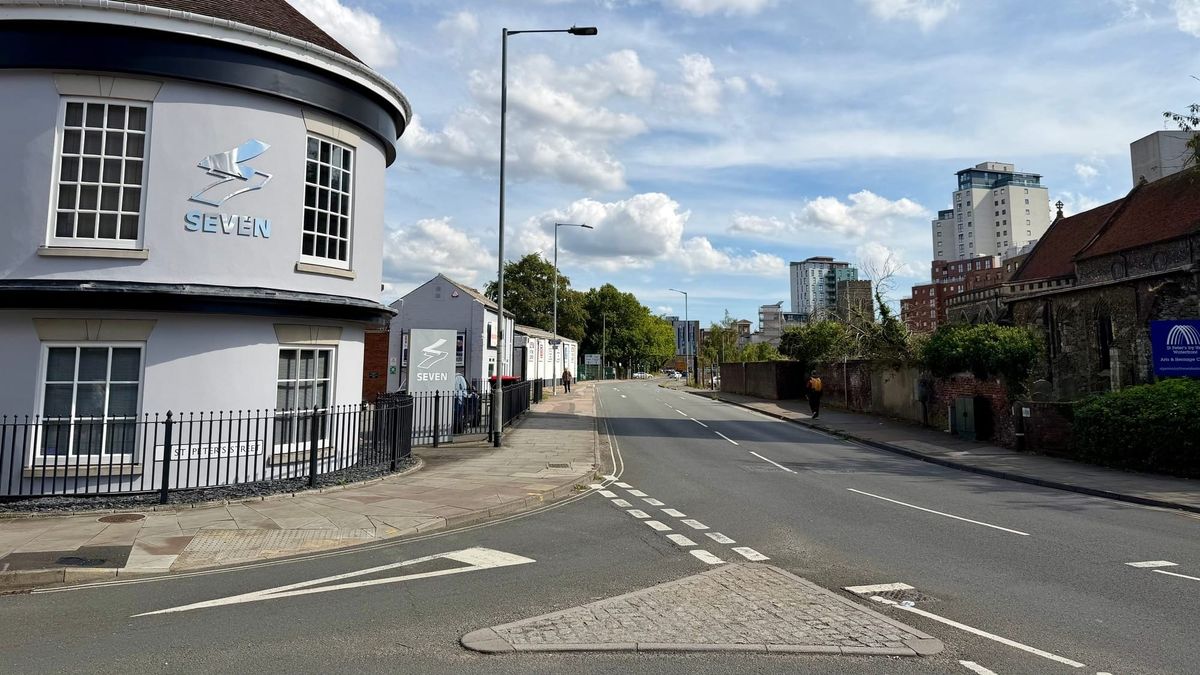
Why it matters: If approved, an estimated 80 homes and 154 residents would no longer live inside an Air Quality Management Area (AQMA). But the change covers only one of Ipswich's three AQMAs.
The details: AQMA are legal designations for places where pollution breaks, or is likely to break, national limits.
AQMA No.3, declared in 2006, covers several roads off Ipswich's waterfront: College Street, Key Street, Salthouse Street, Fore Street, Star Lane, Neptune Square and Grimwade Street.
- The legal limit is an annual average of 40 micrograms of nitrogen dioxide per cubic metre of air (µg/m³).
- A Detailed Assessment by council officers, published with the executive report "Review of Air Quality Management Area (AQMA) No.3", found every monitoring site in and around the area more than 10% below that limit from 2023 to 2025.
By the numbers: The long-term trend is downward, but not in a straight line.
- In 2019, one site inside the area recorded 43.0µg/m³ - above the legal limit.
- Levels fell sharply in 2020, then rose again in 2021. Two sites in and around the area were within 10% of the limit in 2021 and 2022, peaking at 38.6µg/m³.
- In 2025, the highest reading in and around the area was 30.3µg/m³.
The bigger picture: Monitoring in Ipswich's two remaining AQMAs still shows nitrogen dioxide within 10% of the legal limit. The council's Air Quality Action Plan notes breaches in both "over the last five years", though it records none in any of Ipswich's AQMAs in 2023.
- AQMA No.2 covers parts of Crown Street, St Margaret's Street, St Helen's Street and Woodbridge Road.
- AQMA No.5 covers parts of St Matthew's Street and Norwich Road.
Why levels fell: The report says council measures, such as anti-idling campaigns and lower-emission council vehicles, "together with wider changes in vehicle technology and travel behaviour", are "considered to have played an important role". It does not say how much each factor contributed.
For context: National guidance says AQMAs "should not remain in place where long-term compliance has been achieved", and the report calls the revocation "an evidence-based administrative change". It says identifying areas of poor air quality flags them "so that air quality is considered more closely, and action can be taken to improve it".
The Department for Environment, Food and Rural Affairs (DEFRA) "acknowledged the assessment without appraising" it, as it no longer formally appraises these assessments, and confirmed the council could proceed without a public consultation.
What they're saying: Councillor George Lankester, portfolio holder for communities, said: "Having nitrogen dioxide levels remain below the national objective is an encouraging sign of the progress being made.
“This reflects many years of work by the council and its partners, alongside improvements in vehicle technology, changes in the way people travel, and consideration of air quality in planning and development decisions.
“While this progress is welcome, our work is not finished. We will continue to monitor air quality across Ipswich and take action where needed to protect the health of our residents.
What's next: If approved, the order will come into force on Tuesday, 10 November. The executive is also asked to approve an updated Air Quality Action Plan, which will then go to DEFRA for appraisal.
The bottom line: Air around Star Lane has met the legal standard for three years running, and national guidance now expects its designation to go. Residents along parts of Crown Street, Woodbridge Road, St Matthew's Street and Norwich Road remain in areas still close to the limit.
Don't forget: If you enjoy our content, please add Ipswich.co.uk as a "preferred source" on Google so you can easily find more of the content you value.
This article cost us ~£27 to produce
It's free for you to read thanks to the generous support of our partners. Please support us by supporting them.
Below the line